Park Conditions
Location
Huttonsville, West Virginia
Hours Of Operation
6 A.M. to 10 P.M.
Campground Seasons and Dates
The campground is open spring through fall, weather permitting.
You May Also Like
Contact
Phone: 304-335-2219
Email: kumbrabowsf@wv.gov
Address: 219/16, Kumbrabow Rd, Huttonsville, WV 26273
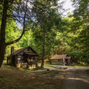
Lodging Options
Park Map
Trip Inspiration
Other West Virginia State Parks Adventures
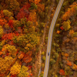
Find Fall Color at these West Virginia State Parks
As autumn sweeps across West Virginia, our state’s parks become a vibrant display of colors, attracting visitors eager to enjoy the beauty of fall. With 36 state parks, 8 state […]
Family Adventures You Have to Try in West Virginia State Parks
School’s out for the summer, which means your next family adventure to West Virginia could be right around the corner. Plan an unforgettable adventure for the whole family at the […]
Explore More and Spend Less in West Virginia’s State Parks
West Virginia’s state parks have something for every type of traveler, and with free admission, your budget can go entirely toward your stay. At Pipestem, the journey is just as […]