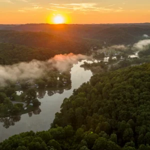
Park Conditions
Location
Hinton, West Virginia
Hours Of Operation
8 A.M. to 5 P.M.
Campground Season And Dates
- All Bluestone State Park campgrounds are open spring through fall, weather permitting.
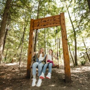
You May Also Like
Contact
Phone: 304-466-2805
Email: dnrbluestonesp@wv.gov
Address: 2104 Bluestone Park Road, Hinton, WV 25951
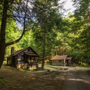
Lodging Options
Park Map
Trip Inspiration
Other West Virginia State Parks Adventures
Family Adventures You Have to Try in West Virginia State Parks
School’s out for the summer, which means your next family adventure to West Virginia could be right around the corner. Plan an unforgettable adventure for the whole family at the […]
Explore More and Spend Less in West Virginia’s State Parks
West Virginia’s state parks have something for every type of traveler, and with free admission, your budget can go entirely toward your stay. At Pipestem, the journey is just as […]
Mother’s Day Dinners at West Virginia State Park Restaurants
West Virginia is the official birthplace of Mother’s Day, first organized by Anna Jarvis in 1908 in Grafton to honor her mother’s community health work. West Virginia State Parks is […]