About This Park
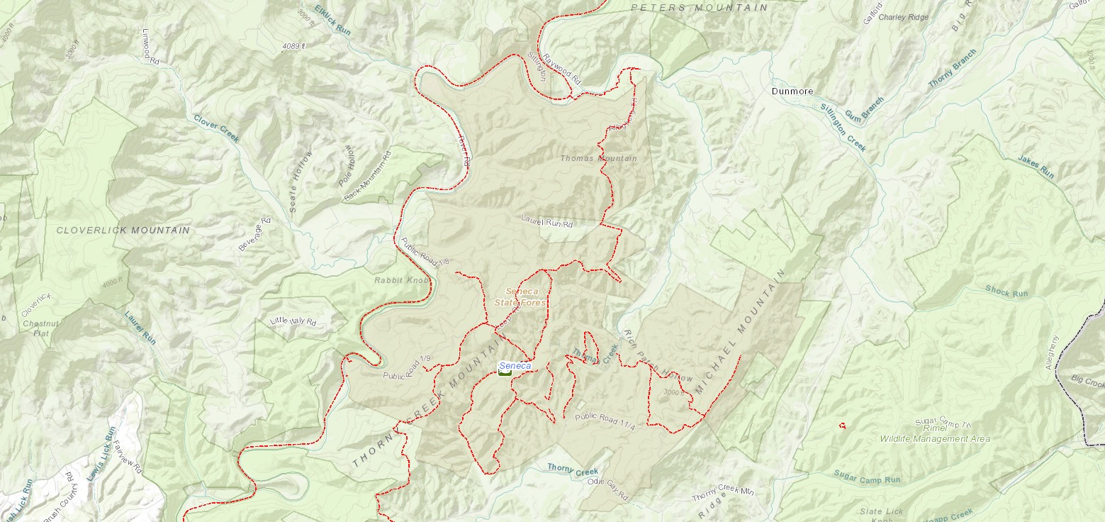
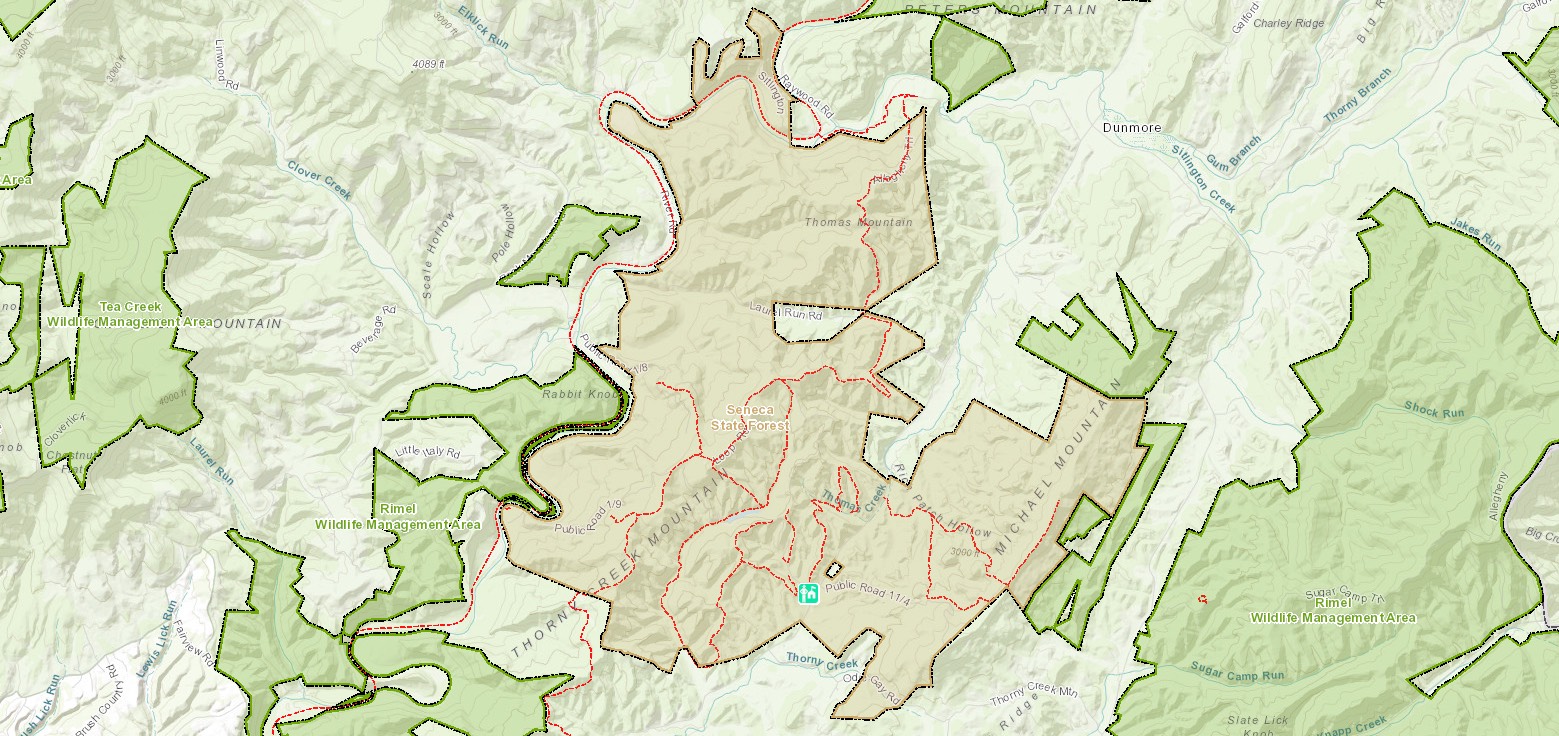
West Virginia’s oldest and largest state forest, Seneca State Forest is located in rugged Pocahontas County with 12,884 acres of lush woodlands to explore. Recreational opportunities include boating in Seneca Lake or the nearby Greenbrier River or hiking or biking 23 miles of trails. Relax in a rustic cabin or campsite. Seneca is perhaps best known for the Thorny Mountain Fire Tower, which provides sweeping panoramas and is available to book for overnight stays.
Contact
- Phone: 304-799-6213
- Email: senecasf@wv.gov
- Address: 10135 Browns Creek Road, Dunmore, WV 24934
History
Most of the land that is now Seneca State Forest was acquired by the West Virginia Game and Fish Commission in 1924. At that time, most of the forest’s timber had been cut. In the following decade, the Civilian Conservation Corps managed reforestation, timber stand improvement and game and fish management programs. The state built the fire tower in 1924, and construction of the state’s first campground was completed in 1928. That year, the state also opened its first tree nursery. The forest’s recreation facilities opened to the public in the summer of 1937, and hunting was allowed the following year. By 1938, access roads, trails, picnic areas, eight cabins and a lake had been constructed.
Additional Information
Allegheny Trail (ALT)
The Allegheny Trail passes through portions of Seneca State Forest. The trail is a 311-mile north-south trail with its northern terminus on the Mason-Dixon Line at the Pennsylvania-West Virginia border near Bruceton Mills. It wends it way south until it meeting the Appalachian Trail on Peters Mountain at the Virginia-West Virginia border. Founded in 1972 by the West Virginia Scenic Trail Association, this trail is also known as the ALT. To learn more about the ALT, click here.
Picnicking
Numerous picnic sites and a large shelter are provided for the enjoyment of visitors and can be reserved for any event. These sites offer tables, fireplaces, drinking water and toilet facilities for your convenience.
Trails
Download Park Trail MapAllegheny Trail
Black Oak Trail
Crestline Trail
Fire Tower Trail
Great Laurel Trail
Hill Top Trail
Horseshoe Trail
Little Jim Trail
Little Mountain Trail
Rich Patch Loop
Thorny Creek Trail
Scarlet Oak Trail
Nearby Attractions
Greenbrier River Trail
A favorite for hikers, bikers, cross-country skiers, anglers and horseback riders, this 78-mile rail trail mirrors along the Greenbrier River.
Green Bank Observatory
Located in Green Bank, approximately 10 miles north of Seneca, the Green Bank Observatory offers free guided tours of their facilities, including the Green Bank Telescope, one of the world’s largest objects! Tour schedules are available at the forest office.
Cass Scenic Railroad State Park
Located in the historic town of Cass, the Cass Scenic Railroad transports passengers to a time when logging was a way of life in Pocahontas County. Restored company buildings have been refurbished and are available for overnight stays in this logging town.
Beartown State Park
The park is one large rock formation split into sections and clefts large enough for walkways. The Park is noted for its massive boulders, overhanging cliffs and unusual rock formations. A boardwalk allows easy access and interpretive signs provide insight into the area’s ecology.
Watoga State Park
The park consists of 10,100 acres filled with recreational activities including hiking, swimming fishing and boating. Vacation cabins are open year-round.
Droop Mountain Battlefield State Park
This is the site of West Virginia’s significant Civil War battle. The battle is re-enacted each October for history buffs.
Pearl Buck Birthplace
The Pearl S. Buck Birthplace Museum showcases the home in which the Nobel and Pulitzer Prize-winning author was born in 1892.


