About This Park

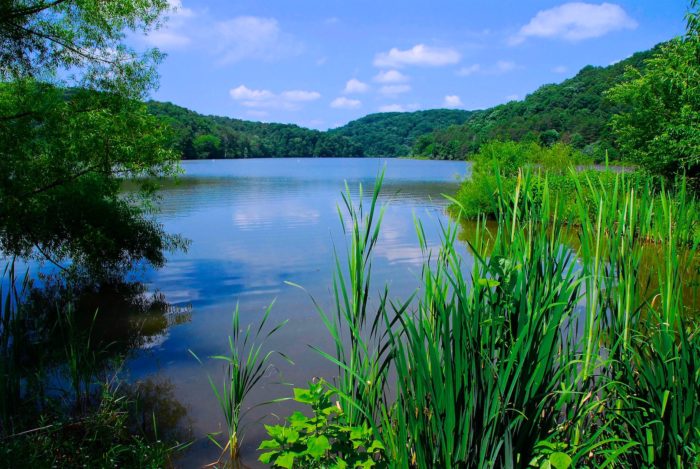
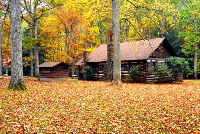
Set on a high, wooded ridge in the rugged mountains of Wyoming County in southern West Virginia, Twin Falls Resort State Park is an ideal destination for nature lovers. At Twin Falls enjoy more than 25 miles of hiking and biking trails, an 18-hole golf course, nature programs, and cozy accommodations. The park features the Pioneer Farm, which offers park visitors a glimpse of what life was like on the frontier.

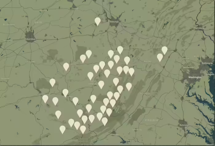
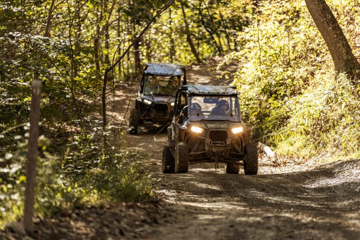
Twin Falls' cozy mountain accommodations and close proximity to the trailheads of the Hatfield-McCoy Trail System make the park a perfect destination to rest up after a day on the trails.

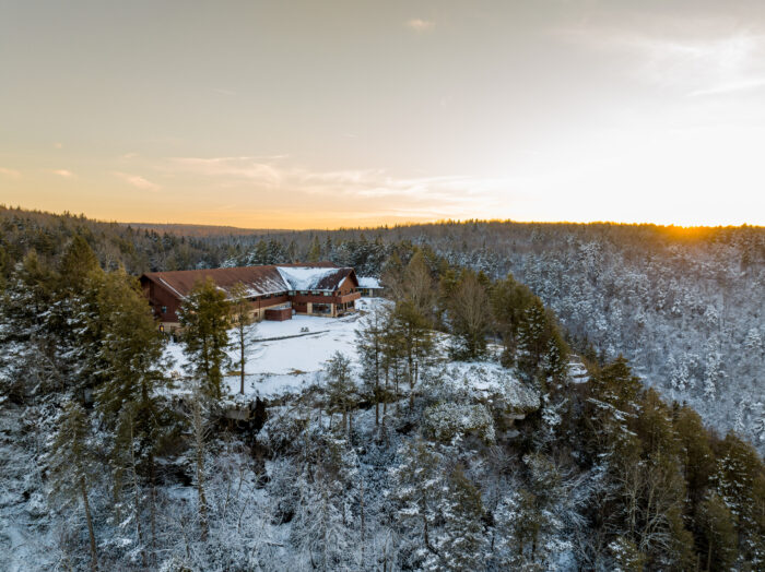
Dining at Twin Falls Lodge restaurant features a bird's eye view from the expansive windows. Our Dining section includes current hours and menus.

Accommodations

Select an option below to learn more about the accommodations at this park.

Activities

Select an activity below to learn more
  • ATV
  • Biking
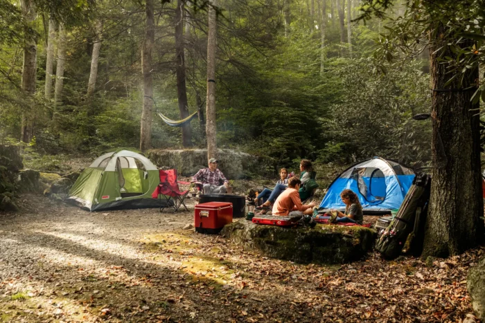
  • Camping
  • Geocaching
  • Golf
  • Hiking
  • Museums & Historical Sites
  • Outdoor Adventures
  • Snow Sports
  • Splash Pad
Attraction is located outside of the park.

History

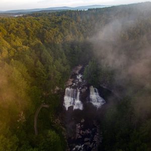
Twin Falls Resort State Park was named for Foley Falls and Black Fork Falls, which are found on park grounds. The park was built on 3,776 acres of land donated in 1964 by the Western Pocahontas Corporation and Pocahontas Land Corporation. In the following years, a golf course, cabins and swimming pool were constructed. The lodge was completed in 1970. During the park’s development in the mid-1970s, a pioneer homestead was reconstructed, and has since become the crown jewel of the park. A major renovation to the lodge, completed in 2011, added 27 additional rooms, an indoor swimming pool and fitness center.

Dining

Twin Falls Restaurant is open year-round for breakfast, lunch and dinner. Dessert and children’s menu options and boxed lunches for golfers are available.

Breakfast Menu

Lunch Menu

Dinner Menu

Dessert Menu

Kids Menu

Nature Center

The Nature Center at Twin Falls is open year-round and showcases the park’s natural and cultural history. Join the Park Naturalist/Park Activities Coordinator on a guided hike, education program or a craft to learn more about the park’s history and native plants and wildlife in the park. Interpretive programs and activities are available year-round.

Click here to view the current Nature Center schedule of events.

Click here to view upcoming events.

Additional Information

Disc Golf

Twin Falls Resort State Park offers a 9-hole disc golf course. The first hole starts on the knoll across from the Nature Center and weaves through the woods and finishes on the opposite side of the nature center. White diamond markers lead golfers on the course trail. Woodland hazards come into play and sharpen a player’s skill set and accuracy.

Bring your own disc or borrow and return a disc from the nature center during open hours. There is no fee to play. Disc golf at Twin Falls is an excellent course to become familiar with the game on a short course. Additionally the ballfield is an open area to simply practice disc (frisbee) throwing.

Parking is very limited at the nature center. There is ample parking in the unpaved lot as you enter the road to the amphitheater and Shelter #4. Players will see a ‘Disc Golf Course’ sign which is right in front of where play begins.

Trails

Download Park Trail Map

Buck Run Trail

This trail has several steep sections and goes through a variety of habitats.

Distance: 0.75 miles

Difficulty: Moderate

Cliffside Trail

The trail begins with a gentle slope along a ridgetop but becomes rocky and strenuous at an outer loop that goes through a rhododendron thicket. Two prominent vistas can be seen on the outer loop.

Distance:  3.5 miles

Difficulty: Moderate to difficult

Falls Trail

This rolling trail with varying terrain is paved to Marsh Fork Falls, then breaks into a loop going down along the creek to Black Fork Falls. It then curves back on itself on an old park road.

Distance: 1.25 miles

Difficulty: Moderate

Hemlock Trail

The trail starts at the campground and gradually descends on a path dominated by hemlock, rhododendron and other plants. It follows a stream and ends at the intersection of the Nature Trail and Falls Trail.

Distance: 1.25 miles

Difficulty: Easy

Horsepin Knob Trail

The trail goes up a slope by old farm house foundations and through a varying forest. Some of the field areas are reverting back to forest.

Distance: 2.5 miles (loop)

Difficulty: Moderate

Huckleberry Trail

This trail has steep sections and partially follows the outer boundary of the Pioneer Farm.

Distance: 1.3 miles (loop)

Difficulty: Moderate

Nature Trail

The trail has steep portions. Hikers may see maples, rhododendron, magnolia, birds, salamanders and other natural features.

Distance: 1.25 miles (loop)

Difficulty: Moderate

Pathfinder Trail

The trail goes through a variety of habitats and along a ridge. It has an elevation gain of about 500 feet.

Distance: 2.5 miles

Difficulty: Moderate

Poke Hollow Trail

This trail travels through a variety of forest types with a steady climb past two cemeteries. It follows a ridge to the highest point in the park, about a 450-foot change in elevation, then descends and follows a creek back to the parking area.

Distance:  3.5 miles

Difficulty: Moderate

Rocky Road Trail

This is a single-track trail with rocky areas and some significant climbs and varying terrain. It is connected to the Moonshiners Trail.

Distance: 4 miles (loop)

Difficulty: Moderate

Still Run Ridge Trail

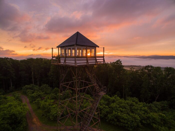
The trail combines rolling and steep terrain as it goes through the forest and a field with an old farm structure. It provides a good opportunity to view beautiful sunsets.

Distance: 2.5 miles

Difficulty: Moderate

Twin Oaks Trail

This trail provides a gentle walk through the woods.

Distance: 0.25 miles

Difficulty: Easy

Moonshiners Trail

This is a single-track trail with varied terrain and some substantial climbs.

Distance: 3.25 miles (loop)

Difficulty: Moderate