About This Park

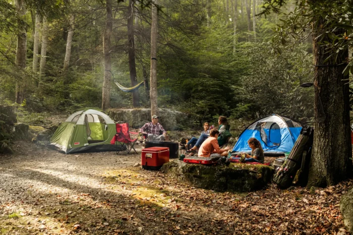
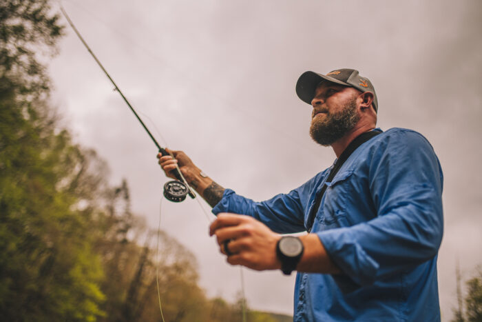
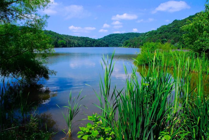
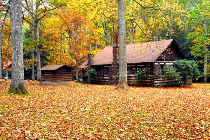
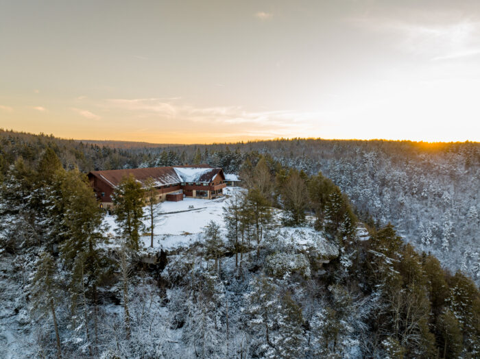
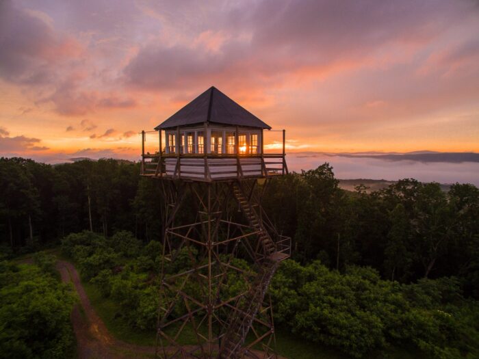
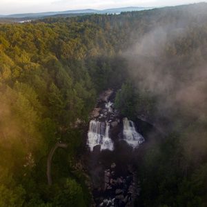
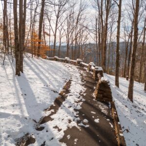
Bluestone State Park is a lakeside retreat located in southern West Virginia. This wilderness park is full of outdoor activities, including boating and fishing opportunities. At Bluestone State Park enjoy camping by the water or take in stunning views of the lake from your cabin’s porch. Guests may also enjoy ziplining, mountain bike excursions and guided fishing trips at nearby Pipestem Resort State Park, located about 20 minutes away.

Looking to have a family outing? The picnic shelter at Bluestone State Park is available to rent Memorial Day to Nov. 1. The event building is open year-round. A marina with boat rentals is open April 15 to Oct. 15.

Phase 5 of Bluestone Dam Safety Construction is in progress. Please visit the Army Corps of Engineers website, for current lake current levels, predictions and resulting closures.

Note: Beginning Aug. 5, the swimming pool will only be open on weekends and Labor Day.

Accommodations

Select an option below to learn more about the accommodations at this park.

Activities

Select an activity below to learn more
  • Biking
  • Boating
  • Camping
  • Fishing
  • Golf
  • Hiking
  • DeerViewing
    Hunting
  • Outdoor Adventures
  • Snow Sports
  • Swimming
Attraction is located outside of the park.

History

Bluestone State Park was established in 1950 and is named after the Bluestone National Scenic River, which flows into the New River at the park. The park’s signature lake was created by the Bluestone Dam, which was authorized by presidential proclamation and approved by an act of Congress in the 1930s. It was created to control flooding in the area, and went through several phases of construction before, during and after World War II.

Trails

Download Park Trail Map

Big Pine Trail

Big Pine Trail starts at the sharp curve below the office on the road to the campgrounds and ends on the roadway just north of Old Mill Campground. The trail offers scenic views of the Bluestone River and ample opportunity to view wildlife and flora.

Distance:  2 miles

Difficulty: Strenuous

Boundary Trail

Boundary Trail starts 150 yards northwest of Cabin 17 off the Giles Fayette Kanawha Turnpike Trail and ends at Big Pine Trail just northeast of the Pawpaw Trail. It offers scenic views, diverse terrain, and an opportunity for viewing wildlife and flora in diverse habitats.

Distance: 2.8 miles

Difficulty: Strenuous

Cabin Trail

Cabin Trail begins in the field behind the Event Building across the road from Cabin 12 and ends at the first sharp curve beyond the park office going towards the campgrounds. It is a popular area for white-tailed deer and wild turkey.

It is an excellent companion trail to the Giles Fayette Kanawha Turnpike or Rhododendron trails.

Distance: 0.5 miles

Difficulty: Moderate

Eagle Point Trail

Eagle Point Trail starts along the main park road halfway between Rt. 20 and the park office. The trail is challenging and not recommended for children and pets. A rewarding view is found at the end of the trail along high cliffs. This trail gets its name from the view at the top, a great place to spot eagles and other birds of prey.

Distance: 1 mile

Difficulty: Strenuous

Giles, Fayette, Kanawha Turnpike Trail

Park near the historical marker at the sharp curve below the park office going towards the campgrounds. From there it is 0.2 miles along a service road to the trailhead at the mile marker 40 stone. The trail passes cabin 17 and ascends to Sand Knob following the historic Giles, Fayette, Kanawha Turnpike. Among other prominent travelers, Booker T. Washington followed this route on his walk out of slavery at age 9. U.S. presidents Rutherford B. Hayes and William McKinley also utilized this trail. The trail passes through upland hardwood forest, offering several scenic vistas. This is an excellent companion trail to the Cabin Trail or the Rhododendron Trail.

Distance: 1.3 miles

Difficulty: Moderate

Mary Ingles Trail

Retrace the steps of Mary Draper Ingles on this historic trail. Begin at the gate at the end of the Pits Road boat launch area. The trail ends near Leatherwood Road and offers a fantastic view of Bluestone Dam. Enjoy picturesque views of Bluestone Lake and wildlife viewing opportunities no matter the distance you choose on this out and back trip. **check lake levels to make sure it is below 1412’.

Distance: 1.9 miles

Difficulty: Easy

Overlook Trail

Overlook Trail head begins 200 feet northeast of Meador Campground entrance and ascends to the Big Pine Trail, then continues to a scenic overlook of the Bluestone River and Lake. The Overlook Trail is a good companion to Pawpaw Trail.

Distance: 0.6 miles

Difficulty: Moderate

Pawpaw Trail

Pawpaw Trail is a meandering trail that runs from the tent camping area to the midpoint on Big Pine Trail. Enjoy the Pawpaw trees along the lower portion of the trail and the forest views of the hollows along the top half.

Distance: 0.4 miles

Difficulty: Moderate

Riverview Trail

River View Trail begins in the sharp curve below the park office going towards the campgrounds and ends on the road near the southwest side of the tent area. This trail follows along a creek with several waterfalls before passing a spur trail and continues following the Bluestone River around the campgrounds. River View Trail is excellent for seeing wetland species and birding. (Access may be limited during high-water events.)

Distance: 1.2 miles

Difficulty: Easy


Rhododendron Trail

The Rhododendron Trail begins across the road from the Event Building and ends at the boat launch below the state park office. The trail features Rhododendron (West Virginia’s state flower), often in bloom late June into July, and hardwood forest along the upper elevation; and a stream ecosystem along the lower end. (Sections of this trail may be inaccessible during high-water events.) This is an excellent companion trail to the Cabin or Giles, Fayette, Kanawha Turnpike trails.

Distance: 0.8 miles

Difficulty: Moderate

Upcoming Events

There are no events scheduled at this time. Check back for updates to the schedule.
View All Events