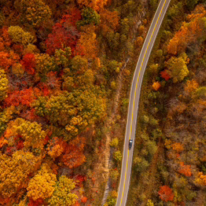
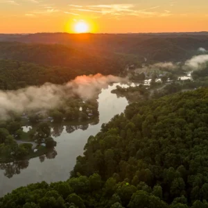
Little Beaver State Park Trails
Explore nature across 17 different trails at Little Beaver State Park! From slow-paced hikes to runs to get your heart pumping, you’ll find a trail that matches your energy well.
Easy
Beaver Creek Trail – 0.7 Miles
Many seasonal wildflowers and a stand of virgin pine and oak are features of this trail that encircles a portion of Beaver Creek. The trail runs above the lake.
Lake Front Trail – 1.1 Miles
This loop trail follows the lakefront.
Railroad Grade – 1.95 Miles
This trail features scenery ranges from deep woods to open meadows. The trail has a gentle loop that follows Laurel Run Creek.
Turkey Spur – 0.5 Miles
This is a short rocky trail that runs along a ridge spur.
Moderate
Creek Bed – 0.4 Miles
This wooded trail is perfect for bikers and hikers.
Drop Off – 0.4 Miles
This trail starts off moderate and then becomes very steep.
Easy Street – 0.5 Miles
This trail is wooded with moderate changing terrain.
Hemlock Trail – 0.25 Miles
This trail cuts through a stand of hemlocks.
Laurel Creek – 2.6 Miles
This trail is 2.6 miles and is the second longest trail in the park. It follows the park boundary along Country Club Road and is an easy to moderate walk with changing scenery.
Nature Ridge – 2.2 Miles
This trail has an incline, sometimes steep, that follows the ridge above the lake.
Stone Trough – 0.9 Miles
This is a rocky and steep wooded trail with changing terrain.
Topper’s Ridge – 0.7 Miles
This rocky trail is a moderate to extreme trail for bikers.
Weaver Way – 1.5 Miles
This wooded trail features changing terrain.
Deer Trail – 0.8 Miles
This is an open trail with changing terrain. The trail changes from an open field to a steep wooded incline.
Difficult
Billy Goat’s Gruff – 0.6 Miles
This is a challenging bike trail full of rocks and steep inclines.
Crooked Rock Trail – 1.2 Miles
This trail is very rocky and challenging with steep terrain.
Rhododendron Run – 2.5 Miles
This trail is the longest in the park. It follows the park boundary with extreme terrain challenges to bikers and hikers.
Other ways to navigate our trails*


Additional information may be available in the West Virginia Trail Inventory
*Trail data may vary between services.