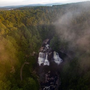
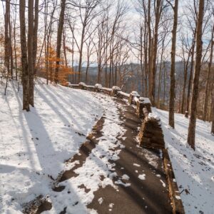
Greenbrier State Forest Trails
With over 5,100 acres of heavy woodlands and twelve trails suitable for hiking and biking, Greenbrier State Forest is the ultimate opportunity to view one-of-a-kind scenery. Catch a glimpse of rare Kate’s Mountain flora or stretch your legs on a fitness trail near the picnic area. You can also trek through several miles of forest management roads for additional exploring.
Easy
YCC Trail – 0.6 Miles
The walking time is 45 minutes. This trail begins across the road from the entrance to the Shelter II area. This “figure-eight” trail was destroyed in the derecho of 2011. It was rebuilt in 2014 as a combination trail for walkers and beginning mountain bikers.
Moderate
Black Bear Trail – 2 Miles
Starting points are three-tenths of a mile from the cabin area at an intersection with Old Roads Trail and one-fifth of a mile from the main forest road on Young’s Nature Trail. The trail passes through two hollows with a gentle climb in elevation. This trail can be combined with Old Roads Trail for a longer hike.
Holsapple Trail – 2.3 Miles
Following an old logging road for its entire length, this trail begins at the top of Kate’s Mountain near Rocky Ridge Trail. After skirting the eastern side of Kate’s Mountain, it ends on Kate’s Mountain Road, south of Young’s Nature Trail.
Mabel Dowdy Nature Trail – 1.3 Miles
This trail, named after a retired park employee, begins and ends in the cabin area. It visits a variety of plant and animal habitats, including a mixed deciduous hardwood forest, a hemlock forest, a mountain stream habitat and an open meadow. This trail has a few gentle climbs.
Old Field Loop Trail – 2 Miles
The walking time is one hour. This loop trail, bisected by Old Fields Trail, begins and ends in the Shelter #2 parking area. This trail meanders through the woods above the picnic area, designed with mountain bikers in mind.
Old Roads Trail – 1.6 Miles
This is a self-guided nature trail with trailheads across the road from the entrance to the cabin area and the service area near the forest office. The trail follows an old logging road for most of its length, except where it crosses a ridge.
Young’s Nature Trail – 1.7 Miles
Starting one-tenth of a mile north of the picnic area at the main forest road, this trail climbs gradually from the hollow and then follows a steep ridge line to the trailhead on Kate’s Mountain Road.
The “Holler” Trail – 1.2 Miles
The walking time is 30 minutes. Starting two-tenths of a mile from the main forest road on Old Roads Trail and ending one-tenth of a mile from the main forest road on Young’s Nature Trail. This trail provides mountain bikers and hikers with a whimsical, flowing trail that meanders through a deep hollow along the base of Kate’s Mountain.
Twin Pines Trail – 0.6 miles
The walking time is 45 minutes. Starting at the main forest road just north of the picnic area and ending one-tenth of a mile from the main forest road on Old Roads Trail. This trail parallels the forest road and serves as a hiking/biking connector path to the picnic area.
Old Field Trail – 1.5 Miles
The walking time is one hour. Beginning in the field just south of the campground, this trail meanders through forest and old fields along an old logging road before it ends two-tenths of a mile from the main forest road on Young’s Nature Trail.
Difficult
Kate’s Mountain Loop Trail – 7.8 Miles
A loop that combines the Rocky Ridge, Holsapple, Young Nature and the Mabel Dowdy trails, as well as the western service road. Adventurers with the backpacker spirit will enjoy the variety this loop offers. Nevertheless, you may want to pack a lunch for this walk.
Rocky Ridge Trail – 2.1 Miles
Starting one-quarter mile from the service area where it intersects with Old Roads Trail, the trail winds to the top of Kate’s Mountain, three-tenths of a mile from the overlook. This is a strenuous walk and is recommended for those in good health.
Other ways to navigate our trails*


Additional information may be available in the West Virginia Trail Inventory
*Trail data may vary between services.