Kumbrabow State Forest Trails
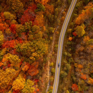
Each trail amid Kumbrabow State Forest boasts impeccable views for a hiking trip that will be unlike any other. Featured spots include Buck Knob, the highest point in the forest at 3855 feet in elevation, accessible on a journey along the Rich Mountain Fire Trail. From easy connectors to steady inclines, every stretch of mountain terrain will leave you speechless.
Easy
Clay Run Trail – 0.75 Miles
Beginning at Forest Headquarters, Clay Run Trail crosses Mill Creek and follows an old logging railroad grade north alongside Mill Creek. Approximately 0.5 miles downstream, the trail turns east and ascends to the top of Mill Ridge. Once reaching the top of Mill Ridge, the Clay Run Trail ends at the Mill Ridge Fire Trail.
Mill Ridge Fire Trail – 1 Mile
Mill Ridge Fire Trail follows the top of Mill Ridge between Clay Run and Mowry Run. A picnic table overlooks Tygart Valley to Cheat Mountain.
Mowry Trail – 0.5 Miles
The Mowry Trail begins just south of Forest Headquarters, crosses Mill Creek and ascends to the top of Mill Ridge. Mowry connects to the Mill Ridge Fire Trail.
Moderate
Raven Rocks Trail – 1 Mile
Beginning just north of the picnic area, Raven Rocks Trail starts as a sharp incline leading up to a rock overlook surrounded by lush rhododendrons. The trail then gradually climbs to the top of Rich Mountain to the end of the Rich Mountain Fire Trail.
Rich Mountain Fire Trail – 3.5 Miles
Beginning from Turkey Bone Road, the trail follows the top of Rich Mountain to the northern border of the forest. This fire trail takes you along the highest point in the forest (Buck knob: Elevation 3855 feet) and will lead you into the most remote sections of the forest. Potato Hole, Meatbox Run, and Raven Rocks Trail connect to the Rich Mountain Fire Trail.
Difficult
Meatbox Run Trail – 1.5 Miles
Beginning in the picnic area, Meatbox Run Trail is a steady incline following a hollow and leading up to the Rich Mountain Fire Trail. Hikers may return by way of Raven Rocks or Potato Hole Trail.
Potato Hole Trail – 2 Miles
Starting behind Forest Headquarters, Potato Hole Trail gradually climbs to the top of Rich Mountain, following Potato Hole Fork. The trail ends at the remains of a forest fire lookout tower on a branch road of the Rich Mountain Fire Trail.
Whitman Trail – 2 Miles
Whitman Trail connects Turkey Bone Road to Kumbrabow State Forest Road. The suggested route is to begin from Turkey Bone Road; the trail then gradually descends off Rich Mountain.
Other ways to navigate our trails*


Additional information may be available in the West Virginia Trail Inventory
*Trail data may vary between services.