Beech Fork State Park Trails
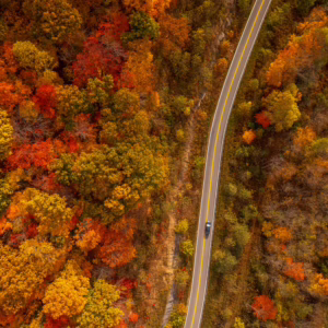
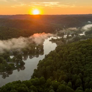
With eight trails covering more than 14 miles, Beech Fork State Park has a trail for hikers and mountain bikers of all experience levels and ambitions. Expect a scenic hike all-year-round with many types of wildlife and plants to see along the way.
Easy
Long Branch Trail – 0.5 Miles
Long Branch Trail is a short connector trail that ties the Overlook/Fire Circle area to the Nature Trail. A footbridge crosses the Long Branch stream at the Nature Trail connection. This is rated as an easy trail, making this the perfect route for beginner hikers.
Nature Trail – 0.8 Miles
This hike/bike trail is an easy trail for all age groups and is located on the “road to nowhere” across from the park headquarters. This is a good trail for school/scout groups and nature study outings. The Nature Trail connects to the Long Branch Trail via a foot bridge that crosses Long Branch stream.
Physical Fitness Trail – 1 Mile
Located in the Franklin D. Wooten Recreation Area, this fitness trail runs along a paved pathway that is perfect for those who enjoy a leisurely after-dinner walk or early morning jog.
Moderate
Overlook Trail – 2 Miles
The Overlook Trail winds up a long ridge to a pleasing overlook of the park headquarters and recreation area. The trail is of medium difficulty with a steep incline at the trail head.
Challenging
Coal Mine Trail – 0.6 Miles
For a trek with a few tricks, check out the Coal Mine Trail. This is a challenging trail and can be walked or biked – making this the perfect route for adventure seekers. The trail connects two points of the Mary Davis Trail and is located within the Wildlife Management Area.
Lost Trail – 3.5 Miles
For avid hikers, Lost Trail is a bit more challenging and contains steep inclines. The trail provides access points to the remote and more difficult Mary Davis Trail. Trailhead is located behind campsite 104 in Moxley Branch Campground.
Mary Davis Trail – 5 Miles
The Mary Davis Trail spurs off the Lost Trail at two entrance/exit points. The trail is long and challenging, with several unmanaged trail spurs. This trail begins in the State Park and leads into the Wildlife Management Area. Hikers are encouraged to wear blaze orange during hunting seasons.
North Ridge Trail – 0.75 Miles
For avid hikers, the North Ridge Trail is a challenging path that can be walked or biked. The trail is a connecting trail between the Lost Trail and the Mary Davis Trail. A portion of this trail is in the Wildlife Management Area.
Other ways to navigate our trails*


Additional information may be available in the West Virginia Trail Inventory
*Trail data may vary between services.